
Operational Intelligence
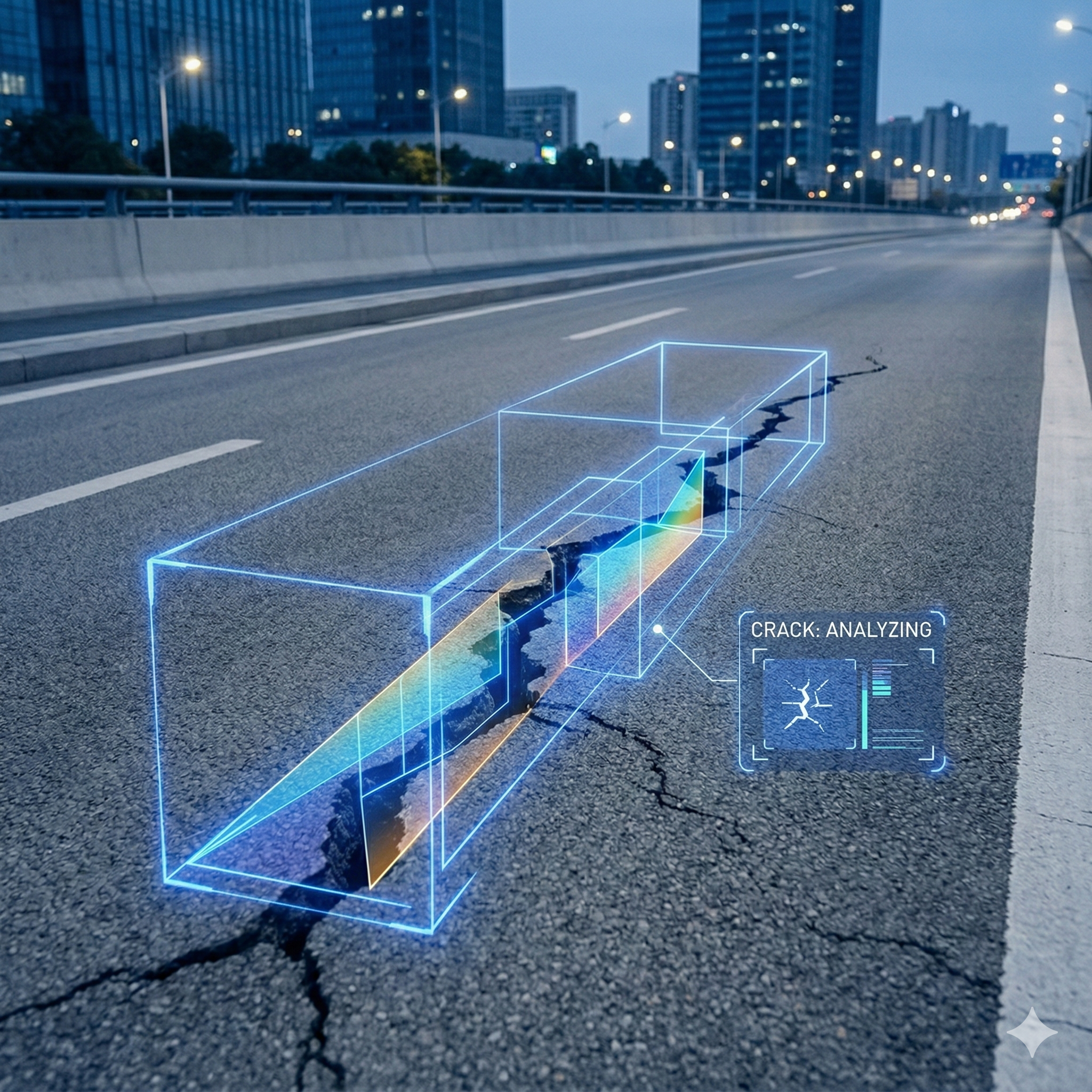
Road Surface Analytics · AI automatically detecting road deterioration, cracks, and potholes
AI-supported solution developed for municipalities and infrastructure units automatically analyzes cracks, potholes, deterioration, and line losses on the road surface.
+68%
Detection Speed Increase
Infrastructure Analytics Capabilities
Crack and Pothole Detection
Marks all small and large deformations on the road surface by categorizing them.
Marking on Map
Automatically coordinates damaged road points and transmits them to maintenance teams.
Maintenance Priority Ranking
Accelerates operation by grading road deteriorations according to importance level.
Product Features
Drone & Vehicle Camera Compatibility
Can perform analysis from both drone images and on-vehicle cameras.
Deep Learning Based Classification
Separates deterioration types with AI: crack, fissure, pothole, asphalt melting, etc.
Geographic Data Integration
Facilitates workflow by working integrated with GIS map systems.